Home » Nature and Territory » Parco Storico Regionale di Monte Sole » Itineraries
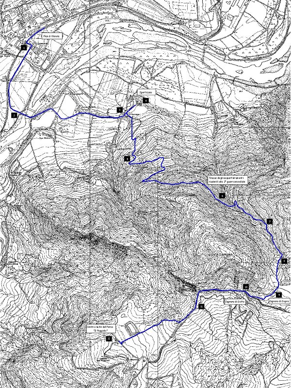
Trail of Pian di Venola-Poggiolo


- Departure: Stazione FS di Pian di Venola
- Duration: 2 hour/s
- Length: 5.6 km
The itinerary starts near the train station in Pian di Venola (line Bologna/Porretta Terme). Once you turn left (1) after the train station and cross the rails you will find an asphalted street leading from Pian di Venola to Sperticano.

Caprara di Sopra
(photo by Sergio Rami)
(photo by Sergio Rami)


 Download KMZ
Beyond the bridge in the direction of Sperticano the street starts to go uphill and after about 500 meters you will find the small village and its nice house-tower called "Fontana" with its little spring (3). Nearby, there is a church dating back to the 17th century and an oratory from the 14th century dedicated to the Saints Simon and Judas (4). From Sperticano the trail goes on into the forest (5).
The trail goes uphill in the direction of Caprara Mount and then it reaches the northern slope: here it will be possible to observe the small and narrow ravines of the rocks which were once used as shelter by the soldiers during the war (6). After the forest you will reach a crossroad (7). Going right you will reach the saddleback separating Caprara Mount from Sole Mount (554 m.), that is a wide and bright glade crossed by many paths (8).
Going right you will reach an open area characterized by sandstone formations created by erosion processes. By way of a marked trail you will reach the Caprara Mount's summit, where many tranches which were used by german soldies during World War II have been found. The trail goes on over the ruins situated in Caprara di Sopra (9).
In this place there were a few houses belonging to farmers before the massacre. Here there was also the so-called "fontana magica" (magic spring), where young people from the neighboring villages used to meet.
This place was brutally devastated by violence and entire families were killed. In the kitchen of one of these big houses the Nazis shut the inhabitants of Caprara and of its surroundings in to kill them with hand grenades. Others were killed while they were trying to run away. A total of 65 people were killed. As it happened in other places, german soldiers set fire to the houses. Thanks to recent renovation works it is possible today to observe the ruins of these houses typical of the mountains near Bologna, while only a little sign of the magic spring remained, namely a pipe and a thin trickle of water flowing in it. You can find the pipe along the street leading to Casaglia, on the left, only 150 meters far from Caprara.
Once you reach the crossroads (10) the trail goes on in the direction of S. Martino up to the Caprara Mount's mountainside, a few meters ahead there is the trail leading to the Visitor Center "Poggiolo".
Taking the large "Cavedagna" on the right (11) you will quickly go down through wide meadows once used to cultivate grapevine.
The reaching of the Visitor Center "Il Poggiolo" (12) represents the point of arrival of our itinerary.
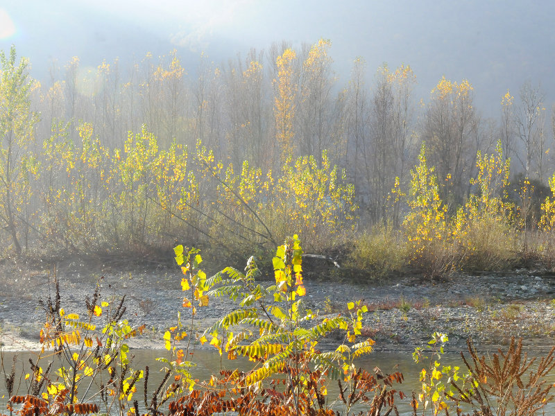
River Reno
(photo by Sergio Rami)
(photo by Sergio Rami)
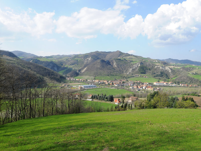
Pian di Venola
(photo by Sergio Rami)
(photo by Sergio Rami)
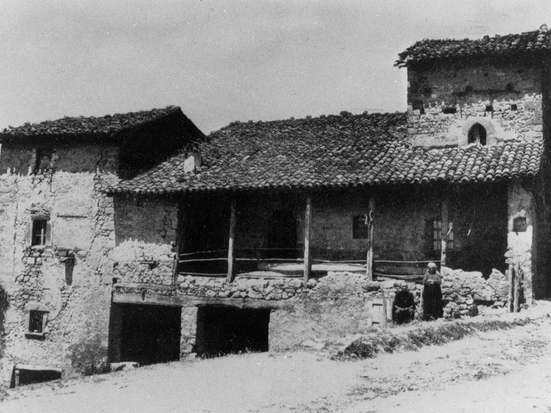
Caprara di Sotto
(photo by Fondazione Carisbo)
(photo by Fondazione Carisbo)
Trail of Pian di Venola-Poggiolo
(photo by PR Monte Sole)
(photo by PR Monte Sole)

2024 © Ente di gestione per i Parchi e la Biodiversità - Emilia Orientale
Piazza XX Settembre, 1 - 40043 Marzabotto (BO)
Tel. +39 051 6701260-6254811 - Fax +39 051 6254521
E-mail protocollo@enteparchi.bo.it - PEC enteparchibo@cert.provincia.bo.it
P.IVA CF 03171551207
Codice univoco per la fatturazione elettronica: UF2KK4
E-mail protocollo@enteparchi.bo.it - PEC enteparchibo@cert.provincia.bo.it
P.IVA CF 03171551207
Codice univoco per la fatturazione elettronica: UF2KK4