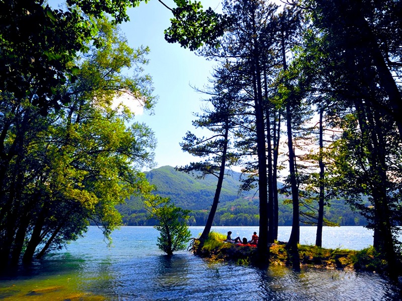
The hike starts along the narrow road that branches off from provincial road SP 62 just after the last houses in Castiglione dei Pepoli, on the curve known as “la Canale”, near the Fosso della Chiesa Vecchia ditch. Along the climb, you’ll come across a water pipe that forms part of the hydroelectric plant of the station at Santa Maria. In fact, since the early 1900s the abundance of water in this area was utilized for generating electricity. From here the trail remains at these higher altitudes, passing through chestnut groves that are almost entirely coppice forests, harvested in the past for making charcoal and now for the production of poles for agricultural use.
For a good part of the trail, you will travel along the ancient “Via Piana”, which connected Castiglione dei Pepoli with Lake Brasimone and then continued towards Rasora or into Tuscany. Only the initial part of the trail and the Tuscan downhill tract are steeply sloped, whereas the rest of the trail is fairly level, at times taking you under the shade of the woods and at times across open fields. Those wishing a more challenging hike may head directly from the town center towards Mount Gatta on trail CAI 003 and then return down towards La Serra, just above Lake Brasimone, joining trail CAI 001 once again. As you approach Lake Brasimone you’ll come across overhanging rocks, open books to the valley’s geomorphological past and these often cool and humid environments are home to a number of rare and protected plant species. A short distance away, after a high voltage transmission tower, you’ll see a number of ancient chestnut trees near the ruins at Ca’ Ortedè. Their fruits were a winter staple food for the inhabitants of these mountains. Walking towards the mountain ridge you will cross fields where it is evident that they were only relatively recently abandoned: patches of woodland, dense bushes and shrubs scattered across uncultivated land.
You must absolutely stop for a break at the Pian Coloré spring, immersed in an ancient beech forest located just off the trail, where the grazing animals would once come to seek shelter from the hot summer sun.


