Home » Nature and Territory » Riserva Naturale del Contrafforte Pliocenico » Itineraries
Mt. Adone Ring-route


- Departure: Brento (463m)
- Arrival: Monte Adone (654m)
- Duration: 2 hour/s 30 minutes
- Length: 4.7 km
The itinerary, which offers wide views and interesting natural and historical aspects, is the most direct way to reach the highest peak of the Pliocene Contrafforte (the climb is just over a kilometer and a half long); it has a fair difference in height (just under 200 m) but develops along a path that is not long and fairly easy, on easily recognizable paths and dirt roads. From the summit you can then close the path by descending along the ridge and cutting the northern side of the mountain. Near the summit and during the descent along the ridge, however, it is necessary to be careful in the most demanding and exposed sections.
The itinerary begins in Brento, which can be reached from the Reno valley, following via Badolo to the locality of the same name, where you leave the SP 58 to turn right into via Brento; after about 3 km you will find a crossroads and, taking via Monte Adone on the left, you will soon arrive in the town. You can park in via Castellazzo, which starts on the right just beyond the church of S. Ansano.
From Pianoro, on the other hand, follow the Savena valley floor towards Loiano and after a couple of kilometers you will find the signs for Brento on the right.
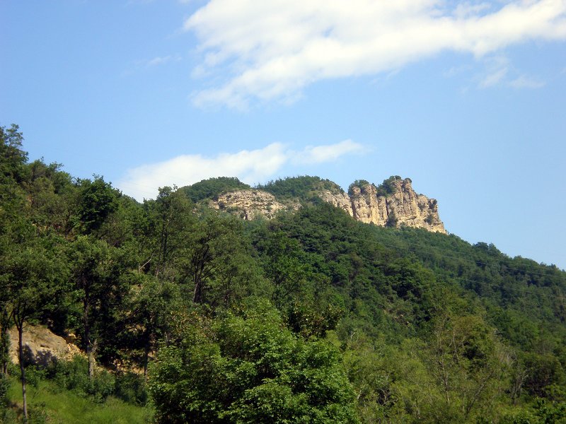
Mt. Adone
(photo by Antonio J. Rodríguez Ocaña)
(photo by Antonio J. Rodríguez Ocaña)


 Download KMZ
2024 © Ente di gestione per i Parchi e la Biodiversità - Emilia Orientale
Piazza XX Settembre, 1 - 40043 Marzabotto (BO)
Tel. +39 051 6701260-6254811 - Fax +39 051 6254521
E-mail protocollo@enteparchi.bo.it - PEC enteparchibo@cert.provincia.bo.it
P.IVA CF 03171551207
Codice univoco per la fatturazione elettronica: UF2KK4
E-mail protocollo@enteparchi.bo.it - PEC enteparchibo@cert.provincia.bo.it
P.IVA CF 03171551207
Codice univoco per la fatturazione elettronica: UF2KK4